
The City of Lakewood is proactively preparing for extreme weather conditions. The city is working with state, federal and tribal partners to plan for worst-case scenarios like 100-year floods. This includes in its Springbrook neighborhood where Clover Creek runs and along the Nisqually River Delta.
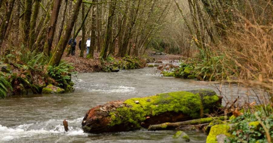
Clover Creek Floodplain
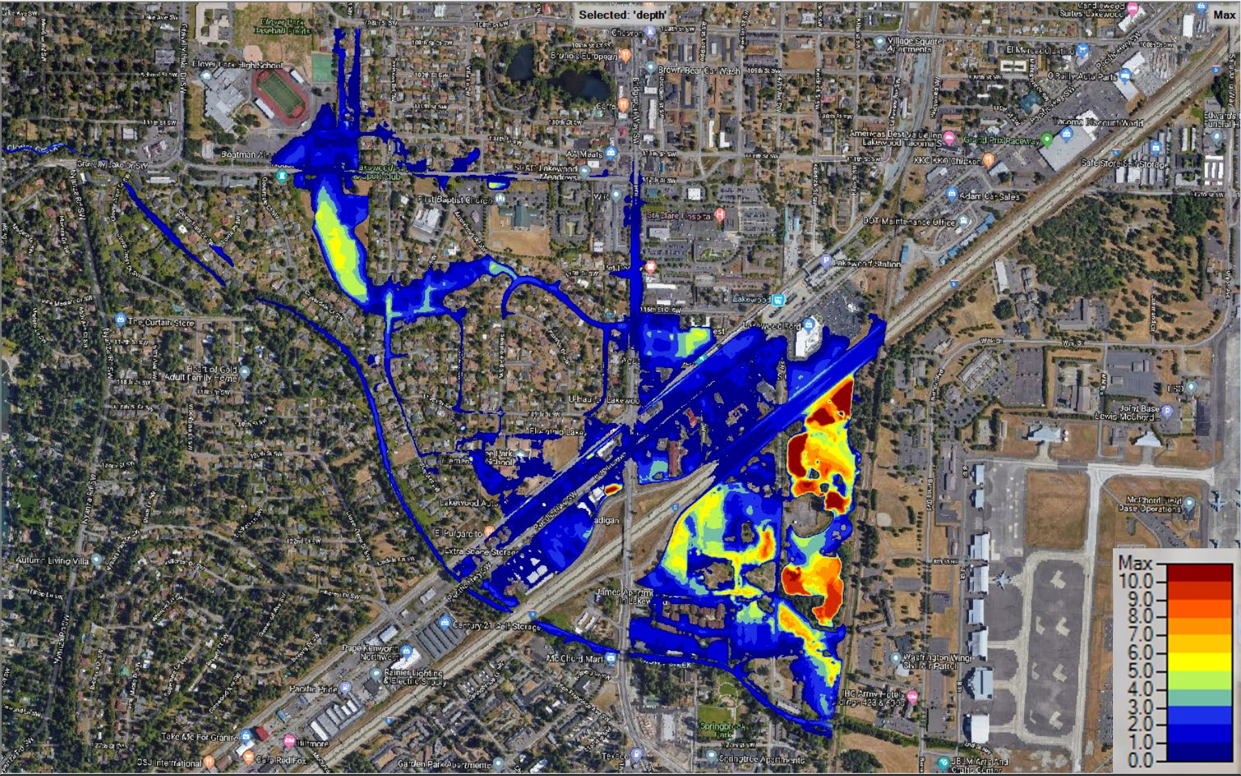
In the event of a 100-year flood, floodwater from Clover Creek may reach certain properties in the Springbrook and Hillside neighborhoods. Severe flooding could compromise Interstate 5 just north of the Bridgeport exit into Lakewood.
There is not necessarily an immediate risk, but the City is proactively contacting affected properties and researching engineering solutions.
Nisqually Delta

South of Lakewood, Interstate 5 passes through the Nisqually River Delta. A massive flood in 1996 blocked this major north-south connector through our state, halting all traffic. A riverbend at Wah-He-Lut is shifting and may encroach the interstate in 15-20 years. The City of Lakewood and Nisqually Tribe are leading the formation of a regional partnership to prioritize this issue.