
The Department maintains the priorities of safety, transparency, and privacy when using drones. Each month, the City posts Drone reports here. These show how and when the Department used the device.
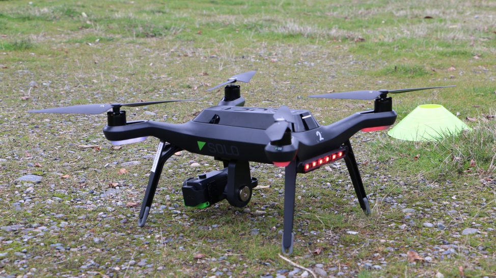
About the Drone Program
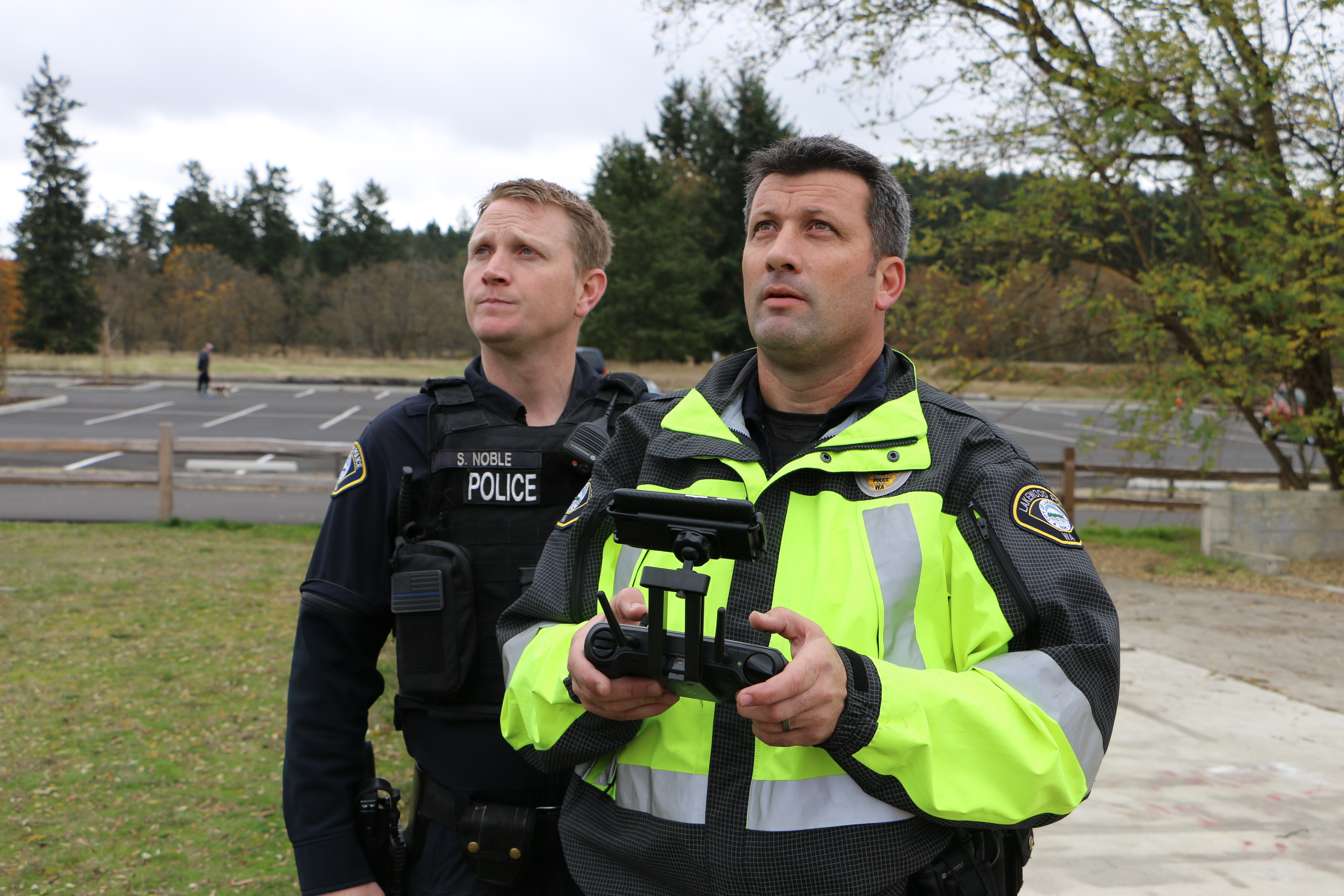
The department began using drone technology at the end of 2017. That’s when its Unmanned Aerial System program was established. Before beginning the program, policy regulations were drafted about how and when the devices will be used. The city’s public safety advisory committee helped draft the document. Before issuing a Certificate of Authorization, the Federal Aviation Administration reviewed the regulations.
Drone technology can only be used for specific operations including:
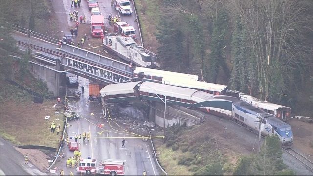
- Assessing damage in hazardous conditions.
- Assist with missing persons investigations.
- Provide awareness to support officers/equipment being sent into emergency situations. To the extent possible, this will be done with judicial approval.
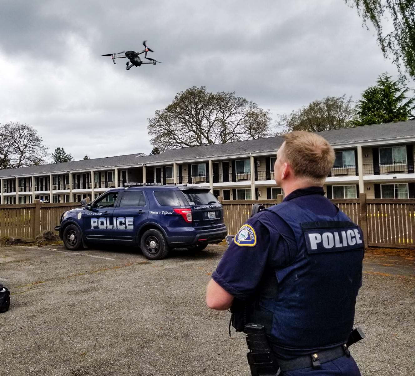
- Document, measure, locate and assist in the investigation of crime scenes.
- Document, measure, locate and assist in collision investigations.
- Collect evidence of a crime under an approved judicial search warrant.
Photos
Monthly Drone Usage Reports
All documents below are in PDF format.